Lost Ride
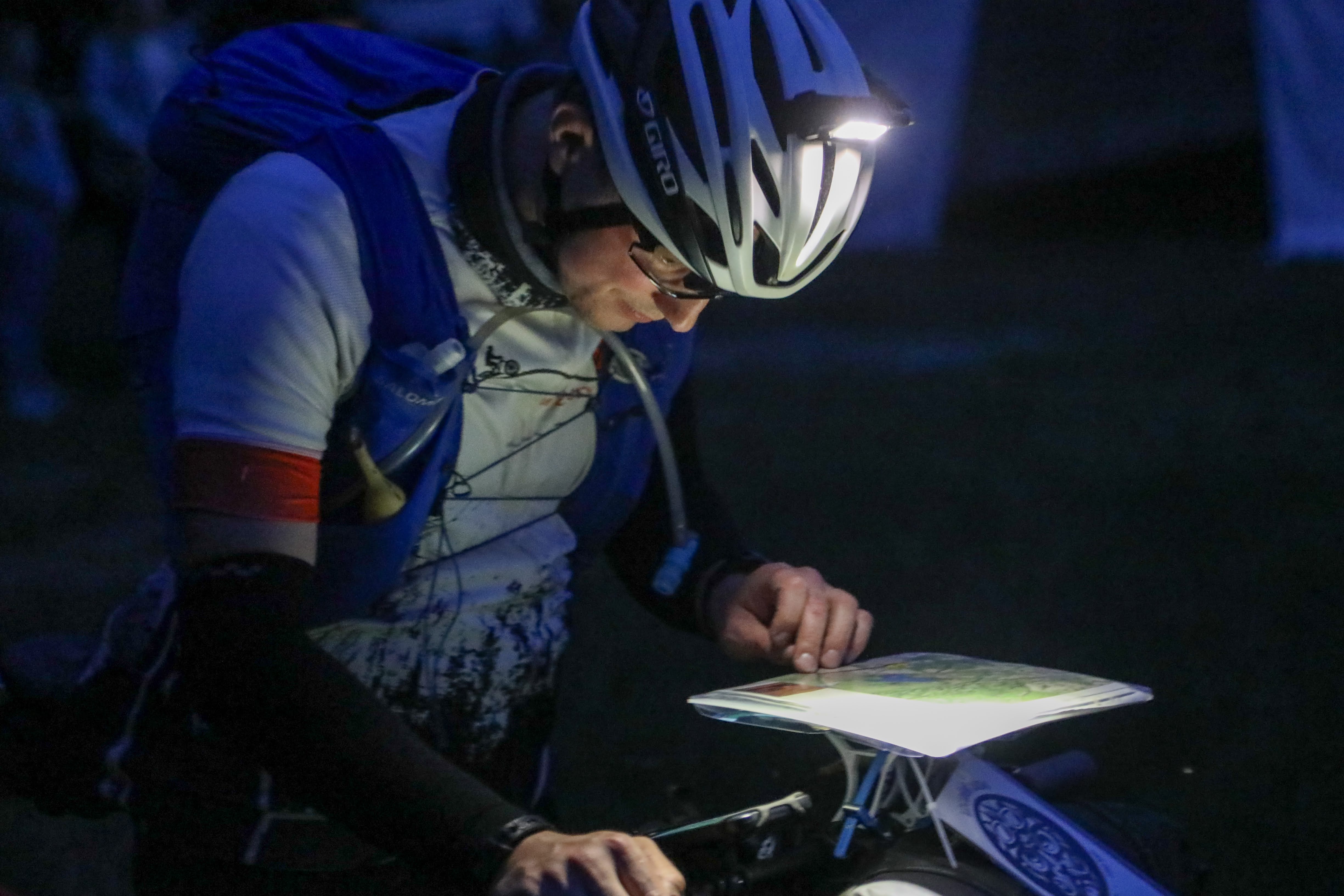
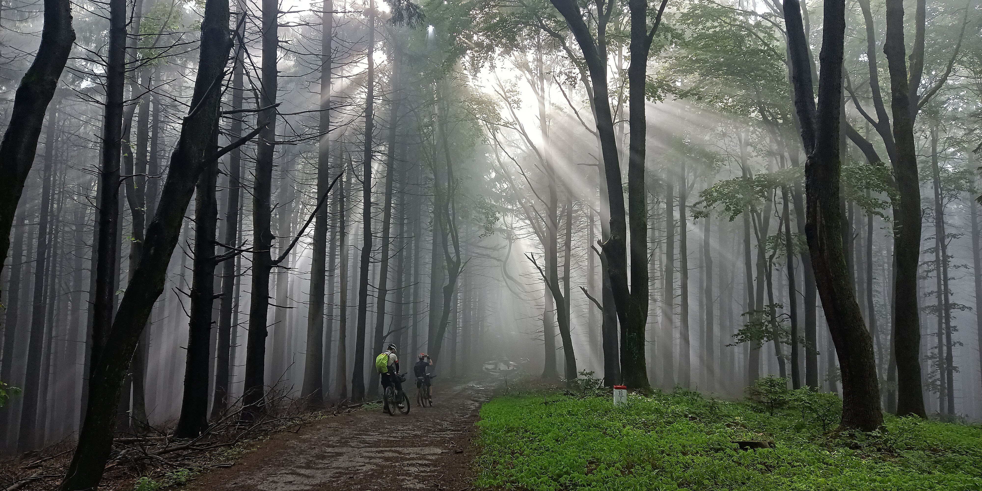
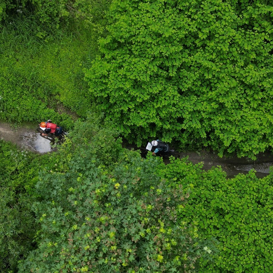
Lost Ride follows the legacy of Loudání as an unsupported race with an unknown route across Central Europe. Riders may navigate using printed maps or an app. Expect forest ridges, overgrown paths, little asphalt, occasional hike-a-bike, and quiet moments where the unknown sets the pace.
Race Concept
Continuing the tradition
The idea behind Loudání is enduring.
Picturesque landscapes, forests, hills, cultural landmarks, all in a land made for bikepacking. This is Lost Ride, a race like no other. We took the best from Loudání and created a continuation of the oldest bikepacking race tradition in Europe. Lost Ride is an unsupported race with a previously unknown route through the Central European region.
The clock never stops. And there are no trophies waiting. You will ride forgotten forest tracks and trails. Asphalt is scarce and sometimes you may need to carry your bike. You will resupply on your own, whenever possible. The theme, route, distance, and elevation change every year. What remains is the subtle tension of the unknown and the silence of the night when you hear only your own breath.
Route
You can choose to ride using printed map sheets or the MapCatch app, where you will only see the route 5 km ahead. It’s up to you whether to keep the broader awareness or follow a thin line with the handicap of uncertainty. Either way, expect surprises. The route may not be fully fixed and self-routing might be needed in some places.
We aim to design a route that can generally be ridden, though there will be demanding sections. Most of the route leads through natural and interesting locations. At the finish, accommodation, hot showers, and facilities will be available. We will do our best to allow your family and friends to welcome you at the finish.
A Few Numbers
~750
kilometres
~20,000
metres of elevation
75
participants from around the world
Details
- Start: 2 June 2026 at 22:00.
- The start location will be in Czechia and announced on 1 March 2026.
- Approx. 750 km route with a high proportion of unpaved terrain.
- Around 20,000 m of elevation gain.
- Those who register by 11 November 2025 (any time zone) may skip one designated climb on the route.
- The same climb may also be skipped by those who send a selfie with their bike and a sign L26 on a hill not reachable by car or cable car, with at least 300 m of elevation gain from the last car-accessible point, anywhere in the world, before the end of the year.
- Option 1: printed route sheets on A4 paper.
- Option 2: route displayed 5 km ahead in the MapCatch app.
- You must choose your navigation option one month before the start. If you do not choose, MapCatch is the default.
- The route will be revealed one hour before the start.
- MapCatch will include live tracking for all riders, including those using printed maps.
- The finish location will be in Czechia and revealed one hour before the start and may differ from the start. The nearest train station will be within 20 minutes, and Czech trains take bikes for a very low fee, so getting from the finish to anywhere in Czechia will be easy.
- One bag will be transported from start to finish for each rider.
- The time limit for results is exactly one week.
Rules
Some races drown in rulebooks. We keep it lean, adventure and friendship come first, and nature has a way of checking everyone’s motivation on its own.