Tuesday, 1 June 2027 22:00
800+ km 12,000-18,000 m

Lost Ride

Unsupported bikepacking race
across Central Europe

Registration 2027

Live tracking

Follow Lost Ride live

Live tracking is available through MapCatch. Follow riders on the embedded map here, enlarge it to fullscreen, or open the full MapCatch view in a new tab.

Open in MapCatch

Latest update

Ondřej Mohyla and Karel Fišer win Lost Ride 2026

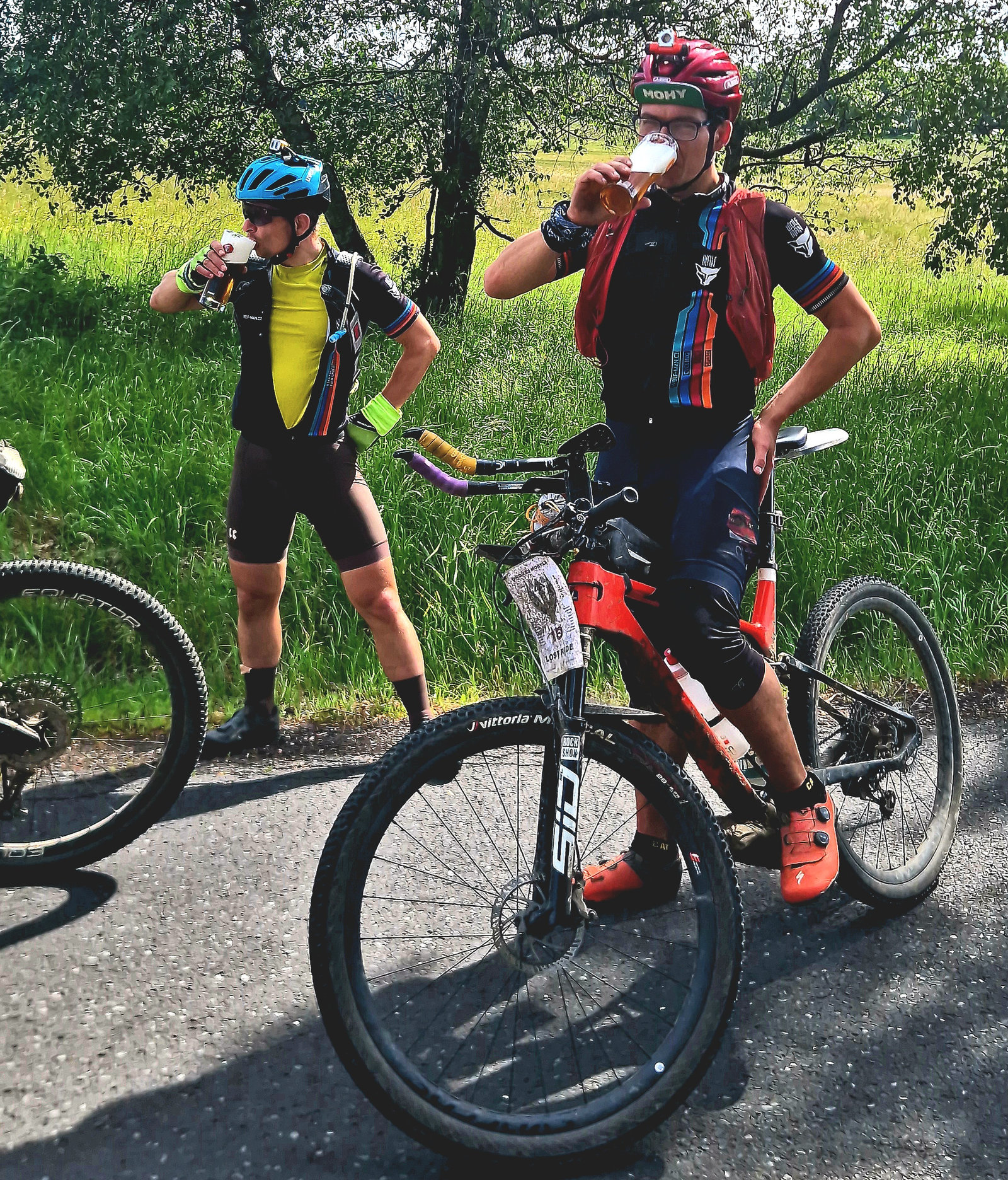
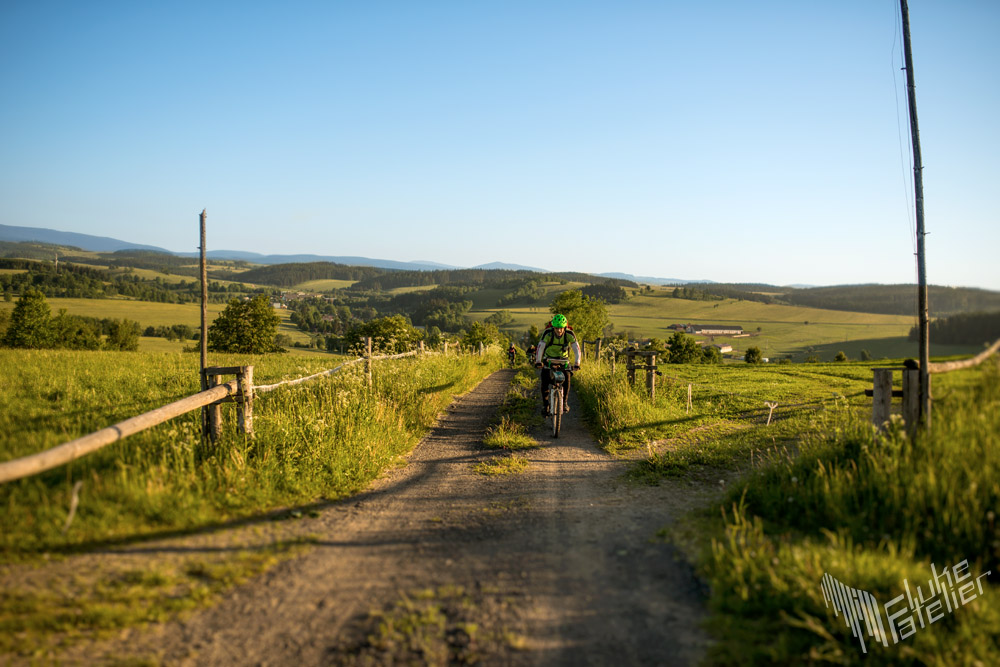
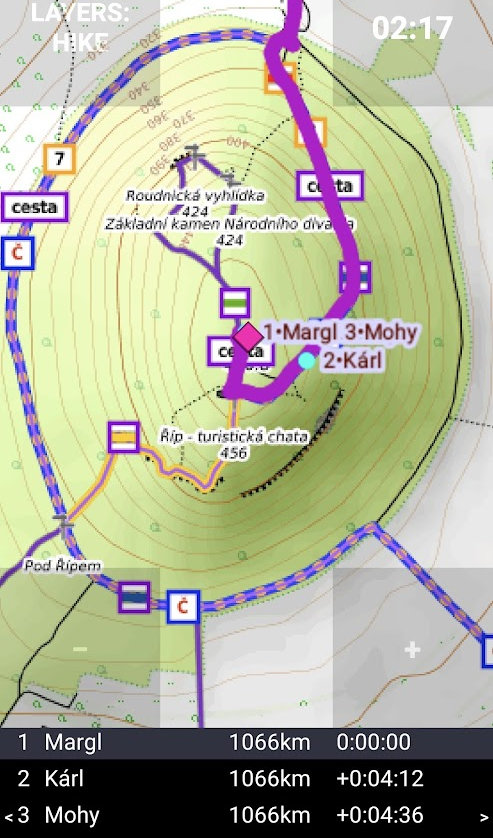
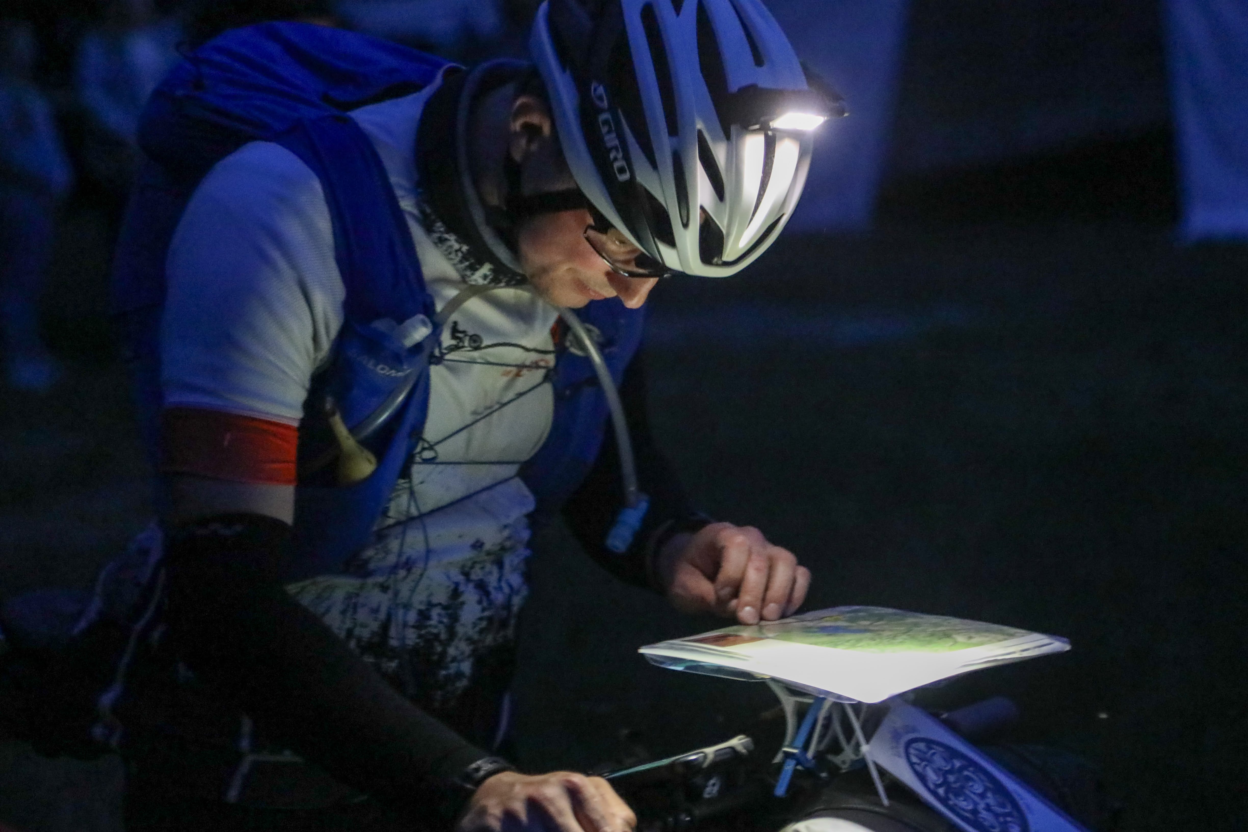
Lost Ride 2026 has its winners. Ondřej Mohyla and Karel Fišer reached the finish together in 3 days, 18 hours, 17 minutes and 19 seconds. Counting sleep, stops, and all the waiting around, that makes an 8.8 km/h average. On paper, almost comfortable. In reality, this was not a cafe gravel spin. This was Lost Ride.

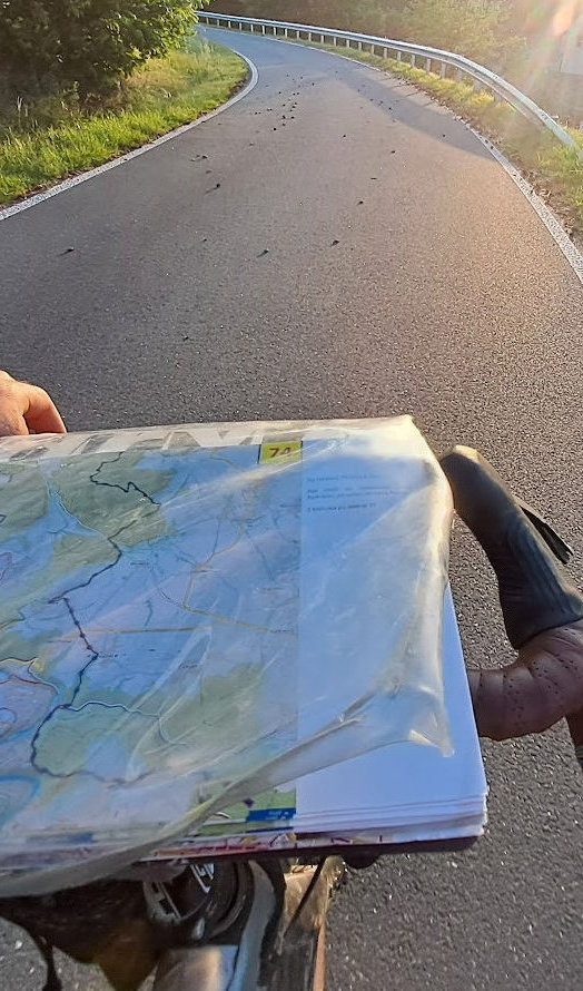
According to the tracker, they spent roughly a quarter of the time resting. The rest was riding, pushing, roots, hunger, half-useful micro-sleep, and the familiar reminder that a forest road can take a rider apart better than any motivational coach.

A major part of the race ran through Bavaria and, technically, nothing serious went wrong. Bavaria simply added its own discipline: Corpus Christi, locally Fronleichnam, landed at the beginning of June and turned resupply into an almost full-day fast for everyone. Shops closed, stomachs empty, morale tested harder than legs.

Big respect to Ondřej and Karel. They rode hard, kept their heads, and made the first Lost Ride under the new name look exactly as rough as it should.

View all news
Ondřej Mohyla and Karel Fišer, winners of Lost Ride 2026

Race Concept

concept.imageAlt

Continuing the tradition

The idea behind Loudání is enduring.

Picturesque landscapes, forests, hills, cultural landmarks, all in a land made for bikepacking. This is Lost Ride, a race like no other. We took the best from Loudání and created a continuation of the oldest bikepacking race tradition in Europe. Lost Ride is an unsupported race with a previously unknown route through the Central European region.

The clock never stops. And there are no trophies waiting. You will ride forgotten forest tracks and trails. Asphalt is scarce and sometimes you may need to carry your bike. You will resupply on your own, whenever possible. The theme, route, distance, and elevation change every year. What remains is the subtle tension of the unknown and the silence of the night when you hear only your own breath.

Route

You can choose to ride using printed map sheets or the MapCatch app, where you will only see the route 5 km ahead. It’s up to you whether to keep the broader awareness or follow a thin line with the handicap of uncertainty. Either way, expect surprises. The route may not be fully fixed and self-routing might be needed in some places.

We aim to design a route that can generally be ridden, though there will be demanding sections. Most of the route leads through natural and interesting locations. At the finish, accommodation, hot showers, and facilities will be available. We will do our best to allow your family and friends to welcome you at the finish.

800+

kilometres

12-18k

metres of elevation

75

participants from around the world

Race detailed info

You sign up, choose how much uncertainty you want to carry, and then travel to the start for maps, briefing, and a night start. The start and finish will be in Czechia, easy to reach by train with a bike, and announced later. The only clean decision comes by 1 May 2027: paper in your pocket or MapCatch on your bars. We currently expect another Tuesday evening start, but we are still discussing whether to move it 1-2 days earlier or later.

Timeline

1 Registration

Secure your place

Register for the race and lock in your participation.

2 By 1 May 2027

You may change your navigation choice until then

You choose maps or app during registration. If you change your mind, you may update that choice until 1 May 2027. After that, we will prepare maps and start instructions based on the submitted choices.

Navigation choice

?
Printed maps
Printed maps Expect roughly 60-120 map sheets in 21 x 21 cm format, depending on the final route.
MapCatch app
MapCatch app The route is shown only 5 km ahead. The app is currently Android-only, but it will also be available for iOS starting in fall 2026.
3 1 June 2027

Start location announced later

The start will be in Czechia and easy to reach by train with a bike. The exact location will be announced later. Expect an evening programme with map handover, briefing, and a night start; the date is still under discussion and may move 1-2 days earlier or later.

4 1 June 2027

Race start

Race start: 22:00.

5 Same weekend, latest by 8 June 22:00

Finish location announced later

Estimated arrival is the same weekend, with the latest finish time on 8 June at 22:00. The finish will be in Czechia, easy to reach by train with a bike, and announced later.

Key stuff

  • 800+ km route with a high proportion of unpaved terrain.
  • Roughly 12,000-18,000 m of elevation gain.
  • MapCatch will include live tracking for all riders, including those using printed maps.
  • The start and finish locations will be in Czechia, easy to reach by train with a bike, and announced later.
  • The start and finish may be in different places.
  • One bag will be transported from start to finish for each rider.
  • The time limit for results is exactly one week.

Rules

Some races drown in rulebooks. We keep it lean, adventure and friendship come first, and nature has a way of checking everyone’s motivation on its own.